Aerial Imagery
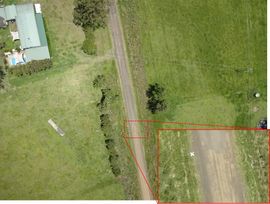
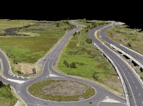
Topographic Survey
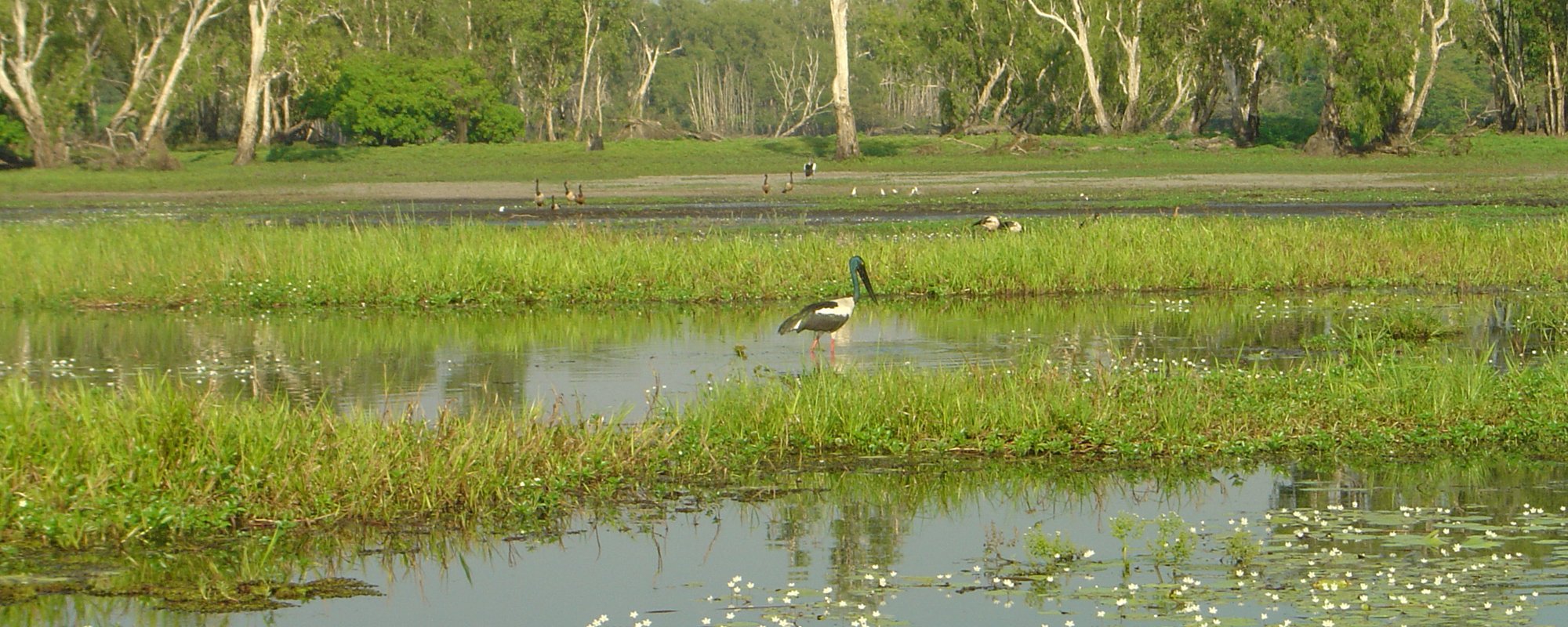
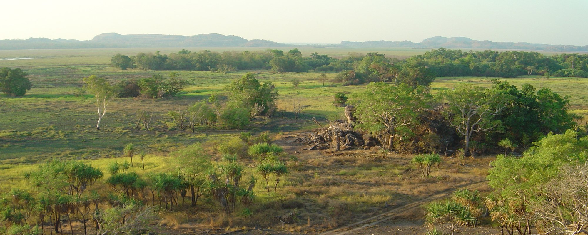
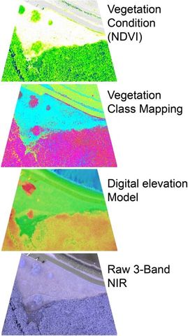
Vegetation Mapping
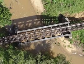
Bridge and Levee Survey
Aerial Video
Disaster Management and Support