Topographic Survey Specialists
We are able to survey large areas in a fraction of the time that would otherwise be required for ground based survey. We can produce digital surface models (DSMs) which represent the tops of vegetation, and digital terrain models (DTMs) which represent the ground. Vertical accuracies of less than +-100mm are possible using the UAV.
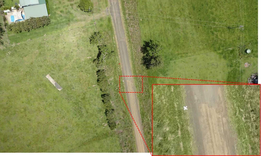
Our RTK (real-time kinematic) GPS fitted on our aircraft collect real-time GPS corrections from a network of permanent base stations located across the country. Use of RTK GPS enables high accuracy positioning without the need for ground control. Where RTK corrections are not available, we can either use our own base station using ground based GPS, or we use ground control points (GCPs). During RTK surveys we generally use GCPs as a verification of the UAV survey accuracy.
We also have ground GPS rovers for higher accuracy survey of critical features if required.
