
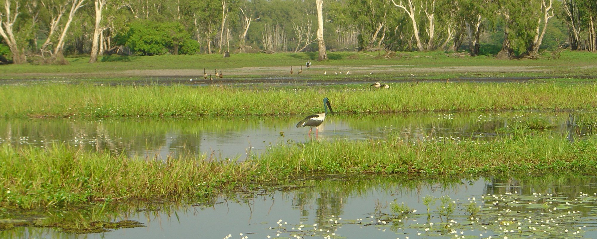


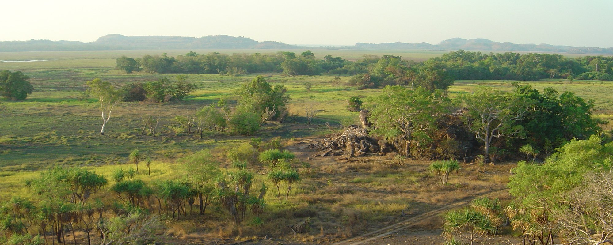


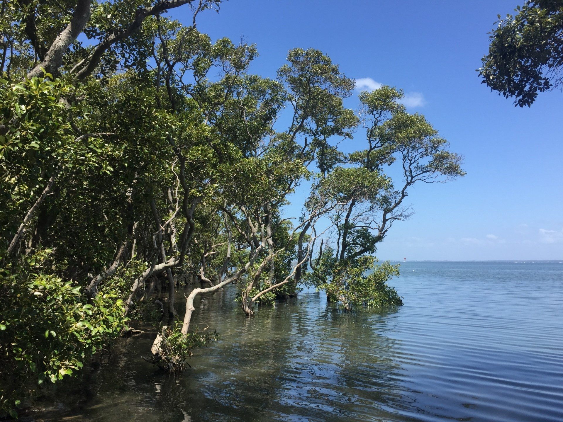
Wight Water recognise that small to moderate data collection budgets do not have to result in compromised project outcomes. Where possible, we remove the need to physically connect with the environment through application of remote sensing technologies. This greatly improves efficiency and reduces cost, which we pass on to our Clients.
At Wight Water, we have three CASA certified unmanned aerial vehicle (UAV) operators having a combined experience of more than 15 years of experience flying military and civilian UAVs. To compliment our fleet of UAVs, we have GPS rovers and base stations capable of Real-Time Kinematic or post-processing differential corrections.
Our Survey capabilities include:
- Aerial photography
- Near infrared imagery
- Aerial survey and point clouds
- Terrestrial survey
- Bridge, levee and hydraulic structure survey
- Floor level survey
- Bathymetric survey
- Radio path survey