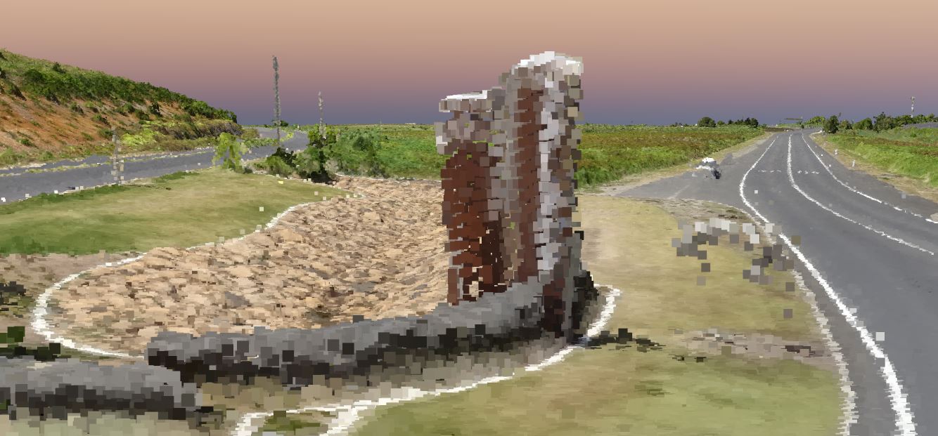
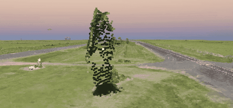
Reliable Point Cloud Service
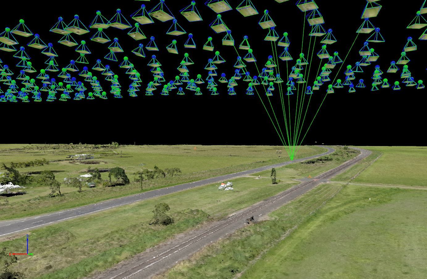
A point cloud is a collection of 3 dimensional points each having attributes (typically colour) associated with the pixel from which the points have been created. The process of creating the point cloud is identifying common points between multiple photographs. This process (referred to as photogrammetry) allows the horizontal and vertical position of the point to be defined through an analytical process known as a bundle adjustment. For a typical survey, a point cloud may have many millions of points.
UAV Aerial Imagery
When the UAV collects the aerial imagery, each photograph is taken about 7 degrees from the perpendicular. This allows multiple points to be collected in the same horizontal position. An example is definition of a ground point and a tree shading the ground point.
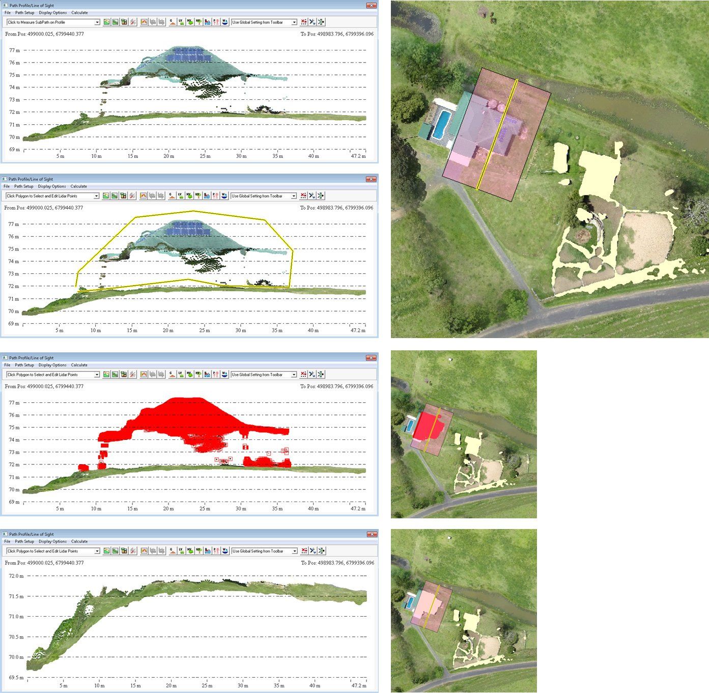
Wight Water uses a range of GIS and photogrammetric software to process point cloud data. We apply a variety of techniques from automatic to manual for filtering point cloud data to remove or isolate particular features.